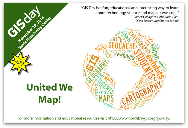
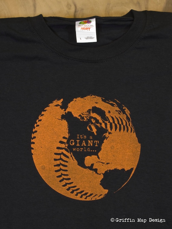
KEL Mapping

Mapping News and GIS Course Website

  • Increase font size
  • Default font size
  • Decrease font size

Internship Opportunity - Marin Municipal Water District

E-mail Print PDF

Marin Municipal Water District - Natural Resource Program Internships

Unpaid internship positions available are involved with vegetation ecology, biological monitoring, GIS and GPS. Students must commit to 35 hours during a semester and have substantial knowledge in one of these disciplines or the aptitude to learn.

Closing date for spring semester applications: January 15, 2012

For more information you can visit MMWD: Natural Resource Program Internships.


Twitter Language Map

E-mail Print PDF

Mapping Languages Using Twitter

Last week I ran across this map by Eric Fischer. I thought it was a very interesting way to map languages using a technology that is so pervasive. Here is a map where the language of the tweets tell the story of culture. Countries with their own single language are distinguishable (Portugal) while countries with multiple languages blend in with their surrounding countries (Belgium and Switzerland).

Follow the link a take a look at the detailed map.

Language communities of Twitter by Eric Fischer


Hurricane Irene

E-mail Print PDF

Here is a list of some online maps regarding Hurricane Irene I have run across. I will try and update this list as more come to my attention.

This site is also a list of Hurricane maps and resources - AnyGeo Blog - Useful Hurricane Irene Data and Storm Related Maps, Data and WMS Resources


Twitter Feed

kelmapping: Getting excited... my @NACIS_Atlas has shipped!
kelmapping: Great weekend - Sat @SJEarthquakes game, Sun @AmgenTourofCali finish and then an afternoon along the Sonoma Coast.
kelmapping: North Bay GIS User Group meeting - Wednesday (5/22) http://t.co/xbTtOu3jN6 #northbaygis
kelmapping: LiDAR and Environmental Data Forum this Tuesday (5/21) hosted by @SCWA and Open Space District. http://t.co/WoBKJeCs2p #northbaygis

Login Form